A popular route climbing steadily to the summit. Return on the same path or (if conditions are good) try the Fox Path.
| Distance: | 2.7 Miles | |
| Est. Time: | 2 hrs 20 mins | |
| Difficulty: | Moderate | |
| OS map: | Explorer sheet OL23 | |
| Total Ascent: | 2441 ft | |
| Total Descent: | 141 ft | |
Register to create & share your own walks
Highlights
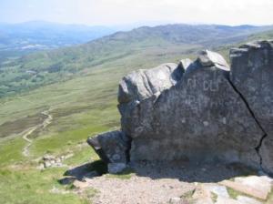
 Superb views of the west coast of Wales
- a respectable climb with no special difficulties
- views of Snowdonia
- One of Wales' best known peaks
Cader Idris (Cadair Idris) is at the southern end of Snowdonia, but away from the most popular tourist areas of North Wales. But popular neglect of this region is quite without justification; it is stunnigly beautiful and Cader Idris offers the perfect platform for viewing the area.
The Route 
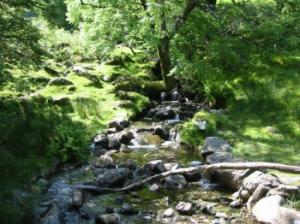
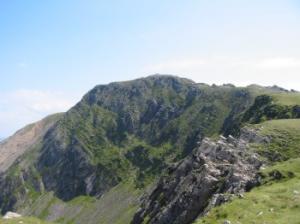
 Ty Nant (690152) From the car park - turn right - SW direction. Left at footpath through gate beside telephone booth. There is a stream on the right of the track. Go through a kissing gate and over a footbridge crossing at the confluence of two streams. Follow the path uphill through thin woodland. At the yellow arrow (on a log) turn half-right and continue uphill. Go through a kissing gate and over another bridge. The path is well maintained and the views get better as you climb. Soon the cliffs of Cader Idris (Cadair Idris) come into view to the left.
  Climb to a dry stone wall and go through a gate (good view of cliffs to the left).
From here the slope eases off for while and the path is grassy. Cross a stream, go through another gate and follow the path up beside a wall and through another gate. Now the path begins climbing towards the ridge, where zigzags soften the steepness of the climb. Go round a large erratic boulder, after which you have just six zigzags to negotiate before reaching the top of this section. Cross a ladder stile at 691135 and turn left along a gravel track.
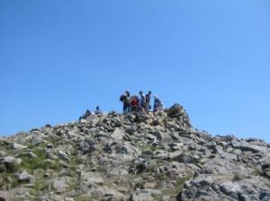
 The path from here is marked by a line of cairns but the path itself is being increasingly improved with stones laid by the National Park authority. At the top of this section the path comes close to the cliff edge then levels off before the final scramble to the summit.
Return by the same route unless conditions are ideal, in which case you may like to try the shorter, but much steeper, Fox Track (with extreme caution).
Safety 
Cader Idris is a moderate climb. It has no special difficulties and the Pony Path route is barely 3 miles long from car park to summit and may take less than 2 hours. But, at 2820 feet (855 metres) this mountain is high enough to suffer sudden changes of weather, so wear decent boots and take adequate clothing.
The alternative Fox Path is a risky walk, to be used with care only in ideal conditions.
Notes 
Dollgellau is the largest nearby town and a handy centre for the region. It has many shops, B&B's, hotels, pubs and restaurants.
Fox Path - probably the shortest walking route up Cader Idris, it heads straight up among the screes and loose stones on the NW side of the peak. It is a risky route, only to be used in ideal conditions
Minfford Path - an alternative walking route from the eastern side of Cader Idris.
Pony Path - one of the most popular walking routes up Cader Idris.